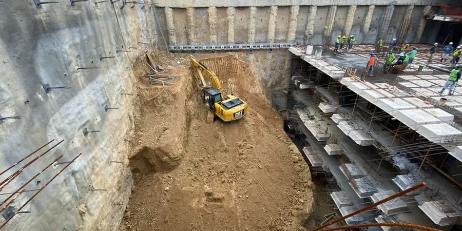
Tucson sits on a deep alluvial basin, not bedrock. That changes everything for deep excavation work. The upper hundred feet are interbedded sands, silts, and gravels washed down from the Santa Catalinas, often capped by a notoriously unpredictable caliche layer that can be six inches thick or six feet. When you dig deeper than fifteen feet in this city, you are not just moving dirt. You are managing a groundwater table that sometimes rises faster than the NWS monsoon forecast suggests, and you are working inside the city's historic basin-fill stratigraphy where a CPT test can map continuous changes in density before shoring design even begins. Our team has logged dozens of exploration borings across Tucson's core from downtown to the Tech Corridor, and we know firsthand that a standard SPT blow count in the upper twenty feet can swing from 8 to refusal within a vertical foot—that is the caliche talking. For projects requiring lateral support, we combine excavation design with slope stability analysis to account for the unsaturated strength of the local sandy silts, which behave very differently during the summer monsoon than in the dry winter months.
In Tucson's basin fill, a caliche lens can turn a straightforward dig into a groundwater surprise. We design for what is actually down there, not what the regional geology map suggests.
Local ground factors
Tucson's urban core has been building upward since the 1920s, and many downtown blocks have undocumented fill, old foundation remnants, or abandoned utility tunnels that predate modern record-keeping. A deep excavation on Congress Street, for example, can encounter brick-lined sewer lines from the territorial era that no utility map shows. The risk of a blow-in at the base of an excavation is higher here than in cities with shallow rock, because the basin-fill sands lose effective stress rapidly when upward seepage gradients develop. We have seen contractors underestimate the required embedment depth of sheet piles in the Tanque Verde Wash area, where the water table sits only twelve feet below grade in September. A base heave failure in a twenty-foot excavation can develop in minutes once the factor of safety against boiling drops below 1.2. Our designs always include a defensible seepage analysis with redundant dewatering capacity, and we specify real-time monitoring of piezometric levels during excavation so the superintendent can react before the subgrade starts to soften. OSHA Subpart P compliance is the minimum; Tucson's stratigraphy demands a margin above that.
Quick answers
What is the typical cost range for geotechnical design of a deep excavation in Tucson?
For a project involving shoring design, stability analysis, and dewatering recommendations, fees typically range from US$1,950 for a small, straightforward basement cut to around US$8,310 for a complex multi-level excavation with adjacent structures and groundwater control. The final cost depends on the depth of the cut, proximity to neighboring buildings, and the complexity of the soil profile encountered.
How does caliche affect deep excavation design in the Tucson area?
Caliche, or pedogenic calcium carbonate, can form irregular, cemented lenses within the upper basin-fill profile. It acts as a barrier to water infiltration and can create perched groundwater. In excavation design, it complicates shoring installation because auger refusal may occur unexpectedly. We map caliche continuity with test pits and core drilling to determine whether it can be broken through with conventional equipment or if pre-drilling is needed for soldier pile installation.
What OSHA regulations apply to deep excavations in Tucson?
Excavations deeper than five feet fall under OSHA 29 CFR Part 1926 Subpart P, which requires a competent person to classify the soil, design protective systems, and inspect the excavation daily. For cuts deeper than twenty feet, the protective system must be designed by a registered professional engineer. Our designs meet or exceed these federal requirements and incorporate site-specific soil parameters obtained from field testing.
How long does the design process take for a deep excavation project?
A typical design timeline runs three to five weeks from the completion of the geotechnical investigation. The first week covers soil parameter selection and lateral earth pressure calculations. Weeks two and three involve shoring system modeling and structural design. The final week is for drawing preparation and coordination with the structural engineer of record. Complex projects with 3D finite element analysis may require an additional two weeks.