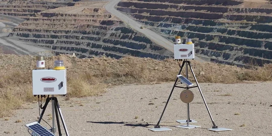
The Tucson basin doesn't give you much warning before it moves. Most of the urban core sits on late Pleistocene to Holocene alluvium—cemented sands and gravels with layers of caliche that can look bulletproof in the morning and start raveling by afternoon once the dry desert air hits a fresh cut. What we've learned from monitoring excavations across the metro area, from the downtown corridor near Congress Street out to the foothills, is that the transition zones between the hard caliche crusts and the softer underlying sandy gravels are where the real surprises happen. A contractor might hit refusal on a backhoe, switch to a ripper, and then punch through into loose material two feet later. That's exactly where real-time instrumentation pays for itself. When we set up a monitoring program in Tucson, we're often integrating inclinometers, piezometers, and optical survey targets in a single array, and cross-checking the data against the initial subsurface model from the CPT test logs that established the baseline stratigraphy before shoring went in.
The caliche-to-alluvium transition zone is where Tucson excavations stop being predictable—instrumentation turns guesswork into trend lines.
Local ground factors
Tucson's growth after the 1970s pushed commercial development into the historic floodplain of the Santa Cruz River, where subsurface conditions are far less predictable than the gravelly fans up on the bajada. The soil profile in those areas often includes buried paleochannels filled with loose, saturated silty sand—material that can liquefy or at least undergo significant strain softening under construction vibrations. The biggest risk we see isn't catastrophic collapse; it's the slow, cumulative settlement that cracks utilities, tilts neighboring foundations, or compromises the integrity of shoring anchors in adjacent right-of-way. Once that damage appears, the legal and remediation costs dwarf the monitoring budget. A well-designed instrumentation plan that ties into the slope stability analysis for open cuts gives the project team a defensible record of performance and early warning when conditions deviate from the geotechnical baseline report. Tucson's combination of cemented soils, monsoon-season groundwater spikes, and proximity to sensitive older structures makes monitoring a practical necessity rather than a contractual checkbox.
Quick answers
What does a typical excavation monitoring program cost for a Tucson commercial project?
For a mid-size commercial excavation in Tucson—say a two-level underground parking structure—a complete instrumentation and monitoring program generally runs between US$930 and US$2,600 per month depending on the number of sensors, reporting frequency, and whether we include automated alerts. The initial installation and baseline survey add a one-time cost in a similar range.
How do you set movement thresholds for a shoring wall?
Thresholds are derived from the structural tolerance of adjacent buildings and utilities, not from the shoring design itself. We start with the angular distortion and total settlement limits in IBC Table 1604.5, then work backward to calculate the allowable lateral movement at the excavation face. Amber triggers are typically set at 50–60% of the calculated allowable, with red triggers at 80%.
Do Tucson soils require any special monitoring considerations?
The caliche layers common across Tucson create a particular challenge: they mask softer material underneath, so a cut that looks stable can start spalling hours after exposure. Our monitoring arrays account for this by placing inclinometers deep enough to capture the weaker strata, and we densify survey points near caliche-to-alluvium contacts. The high summer temperatures also require temperature-compensated sensors or regular correction factors applied to raw data.
What happens if a monitoring reading exceeds the threshold?
When a sensor exceeds its amber threshold, our system sends an immediate notification to the project team with the current trend plot. We recommend a hold on adjacent work and a visual inspection within the hour. If a red threshold is breached, we escalate to a mandatory work stoppage, implement the contingency plan outlined in the monitoring specification, and convene a review meeting with the design engineer before resuming.