Tucson sits on a deep alluvial basin where the Santa Cruz River has been dropping sediment for millennia. That sounds like a geologist's fun fact until you realize your structural permit depends on a single number: VS30. The 2018 adoption of ASCE 7-16 by Pima County put shear wave velocity front and center for site classification. You can hammer out a dozen SPT borings, but in the cemented gravels and interbedded silts typical of the Tucson Mountains foothills, refusal comes early and blow counts get erratic. We run active-source MASW surveys with a 24-channel seismograph and a 4.5 Hz geophone spread—no drilling, no refusal, just a straight shot at the average shear velocity in the upper 100 feet. For projects near the Broadway Boulevard widening or the new infill developments creeping up the bajada slopes toward Sabino Canyon, this method cuts through the subsurface noise and gives the geotechnical engineer a defensible Site Class C or D determination without the guesswork. When the basin stratigraphy gets complicated, we often pair the MASW profile with a single CPT sounding to calibrate the velocity model against tip resistance and sleeve friction data.
A VS30 shift from 1,200 ft/s to 900 ft/s can bump your seismic design category, and in Tucson's basin transition zones that boundary cuts straight through a buildable lot.
How we work
The Sonoran Desert doesn't do gradual transitions. You go from caliche-cemented hardpan to loose channel sands in the space of a single lot, and that contrast wreaks havoc on refraction-based methods that assume a simple velocity gradient. Our MASW protocol exploits surface-wave dispersion—the same physics that makes earthquakes feel different on bedrock versus fill—to build a 1D shear wave velocity profile that honestly reflects the interlayering. We deploy a 92-meter linear array with sledgehammer or weight-drop sources, record the full wavefield, and extract the fundamental-mode Rayleigh wave dispersion curve. The inversion runs through a least-squares algorithm constrained by known site geology and any available borehole logs. What you get is a VS30 value compliant with IBC Section 1613.2 and the Site Classification Tables in ASCE 7-22. For the sprawling master-planned communities pushing into the Avra Valley, where the groundwater table can sit within 50 feet of grade, we also capture the saturated velocity drop that pushes some sites from Class C into Class D territory—a difference that can shift your seismic base shear by 30% or more.
Local ground factors
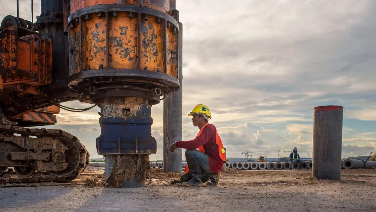
The field kit for a Tucson MASW survey in July is half geophysics and half survival gear. We lay out a 92-meter cable with 24 geophones planted in ground that can hit 140°F by noon, and the coupling spikes sometimes barely penetrate the caliche crust without a pilot hole. The seismograph runs off a deep-cycle battery that the heat tries to kill before lunch. We start shooting at 6:00 AM to beat the thermals—once the desert pavement heats up, air-coupled waves contaminate the low-frequency end of the dispersion curve. The real risk isn’t equipment failure; it’s a poorly resolved VS30 from a crew that rushes the array geometry. In Tucson’s basin-fill deposits, a too-short receiver spread aliases the fundamental mode and pushes the inverted VS30 15–20% higher than reality. That translates to an unconservative Site Class that a plan reviewer can flag, sending the project back to resubmittal. We run a minimum array-to-target-depth ratio of 2:1 and stack five blows per shot point to keep signal-to-noise above 20 dB, even with Interstate 10 truck traffic rumbling a half-mile away.
Quick answers
What does a MASW survey cost for a typical Tucson residential lot?
For a standard 1D MASW profile on a single-family residential lot within the Tucson metro area, budget between US$1,600 and US$2,790. The range depends on access conditions, array length required to reach the 100-foot target depth, and whether we need to clear brush or caliche for geophone coupling. Larger 2D transects on commercial parcels run higher because of the extra setup time and data processing.
How does MASW compare to SPT for seismic site class?
SPT gives you a direct blow count and a soil sample at discrete depths, but in Tucson’s cemented gravels you often hit refusal above 50 feet and have to extrapolate. MASW measures shear wave velocity continuously through the entire soil column without drilling—the surface waves propagate through gravel, caliche, and sand alike. The IBC accepts both methods, but MASW eliminates the interpolation uncertainty when refusal truncates your borehole log. We frequently run both on the same site, using the SPT lithology to constrain the MASW inversion model.
Can you run MASW on a sloped site in the Tucson foothills?
Yes, but the array geometry requires correction. On slopes steeper than about 5 degrees, the geophones sit at different elevations and the travel-time picks shift. We survey the array topography with a laser level, input the elevation profile into the processing software, and apply a topographic correction before extracting the dispersion curve. The method holds up fine on the bajada gradients common in the Catalina Foothills; we’ve shot lines up to 12 percent grade with clean results.